
Kancamagus Highway
We were once again up before our alarm and headed out the door before 9:00. We decided to make a quick stop at Dunkin Donuts for breakfast. I had an Ellen breakfast of a donut and hot chocolate, and Tom had a maple bacon and egg croissant sandwich. He looked less then pleased with his meal, but that also had something to do with another customer playing his you tube video at max volume for all to hear.
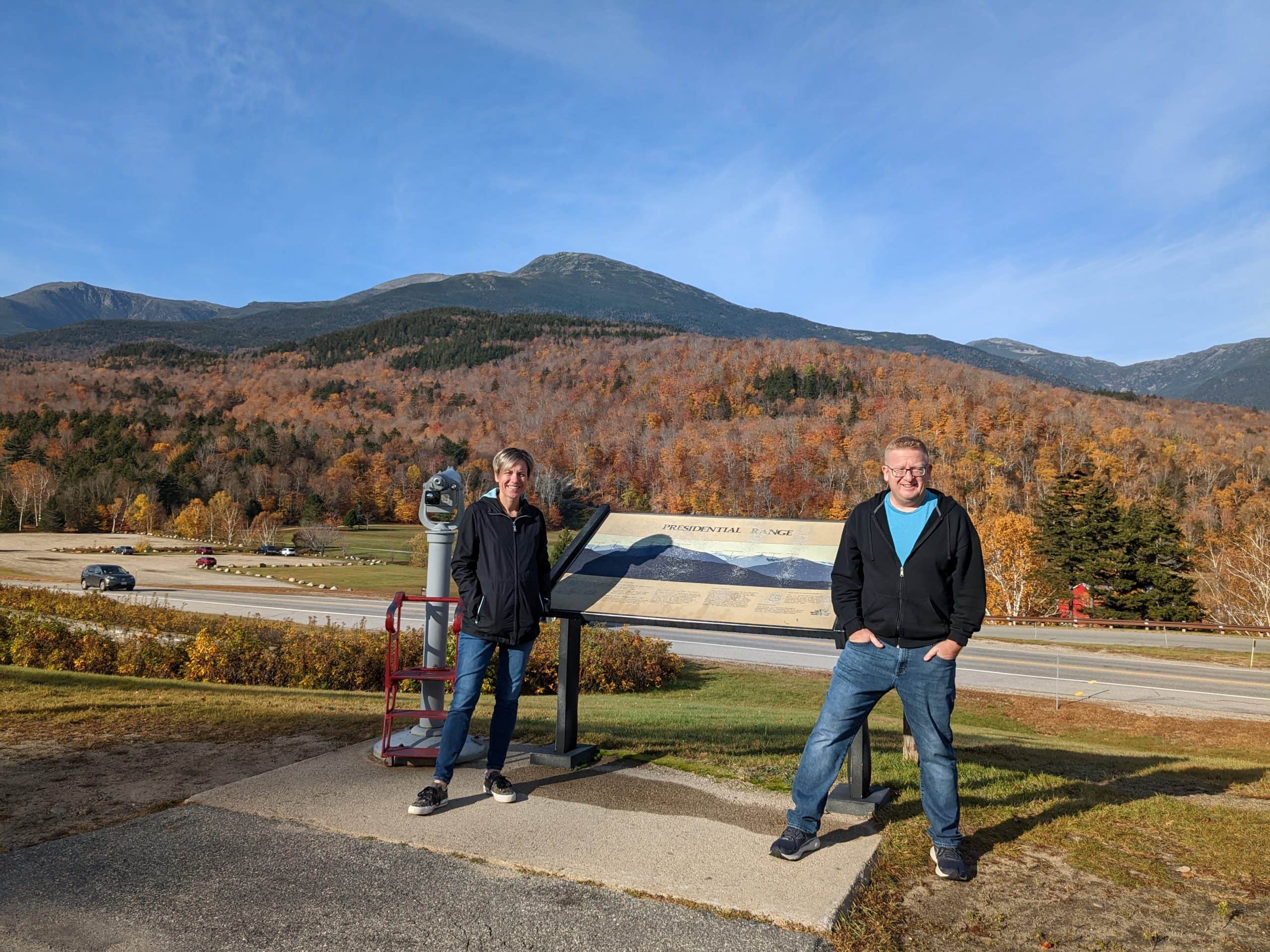
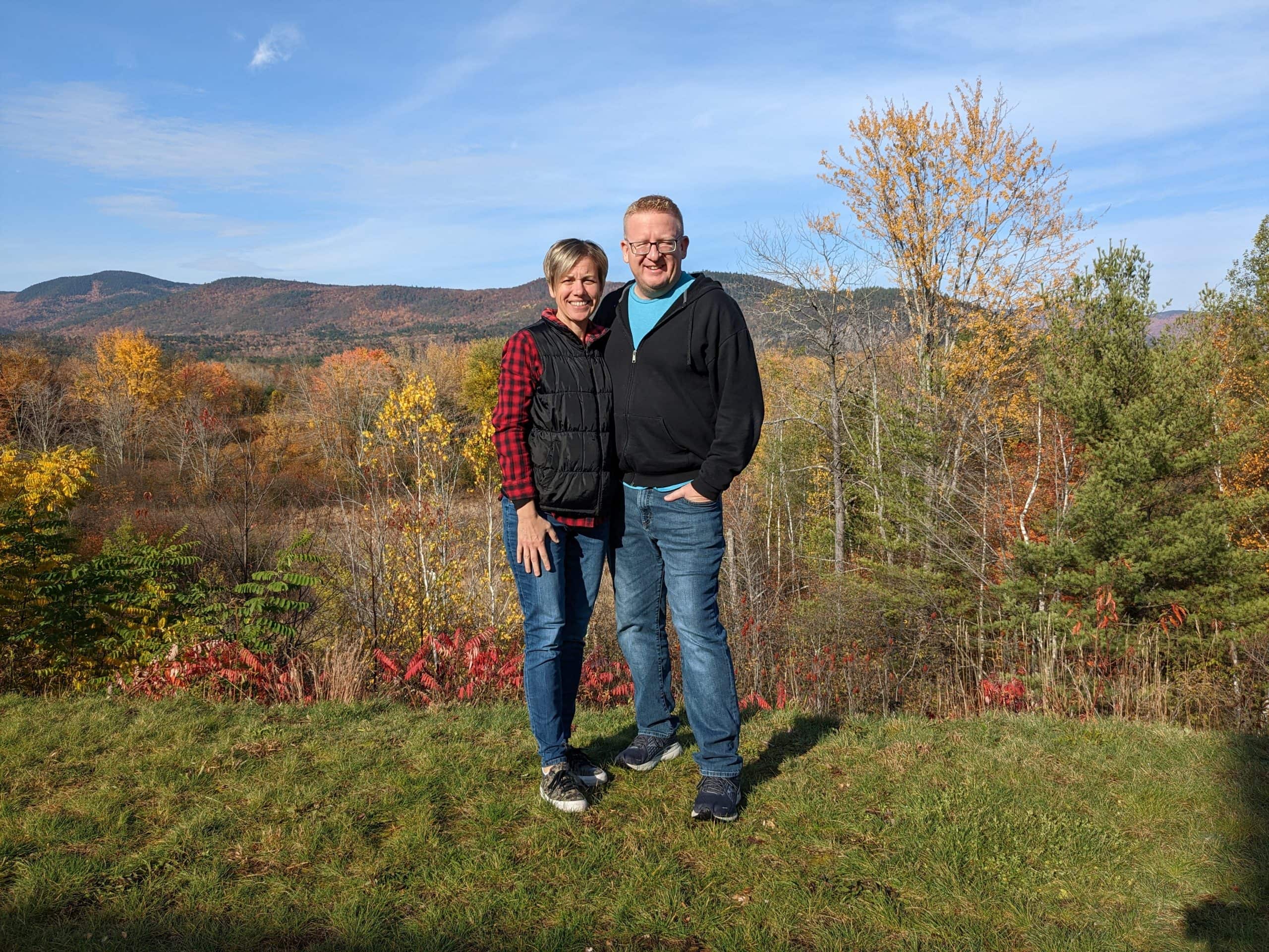
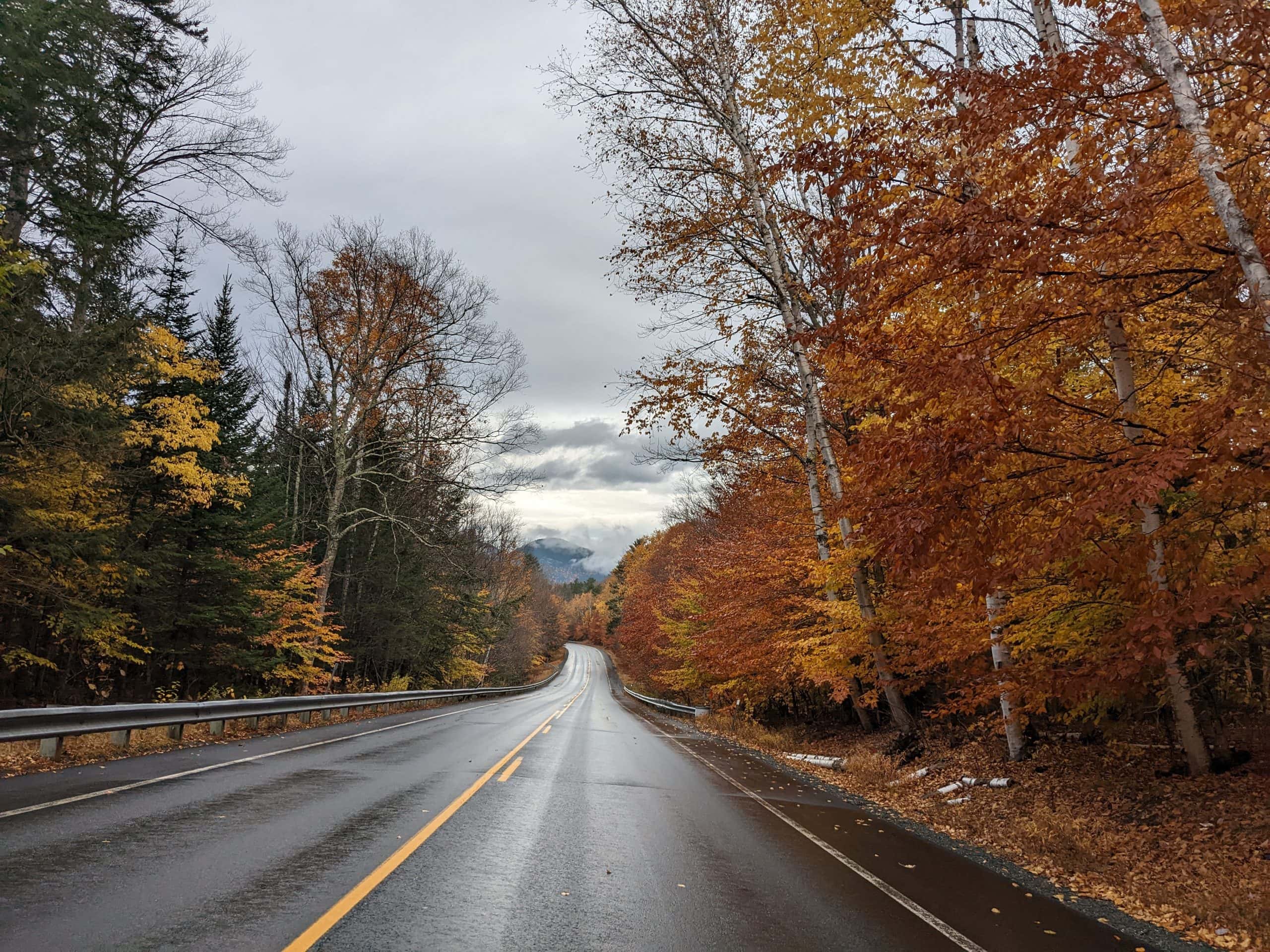
We got on the road and headed to the Kancamagus Scenic Byway. On the way we stopped at the Mt. Washington visitor center where the road to the summit begins and got a great view of the mountain. We were able to see the Observation and Visitor’s Center we were at yesterday! We remembered we had the selfie stick that also acts like a tripod, so we put that to great use today.
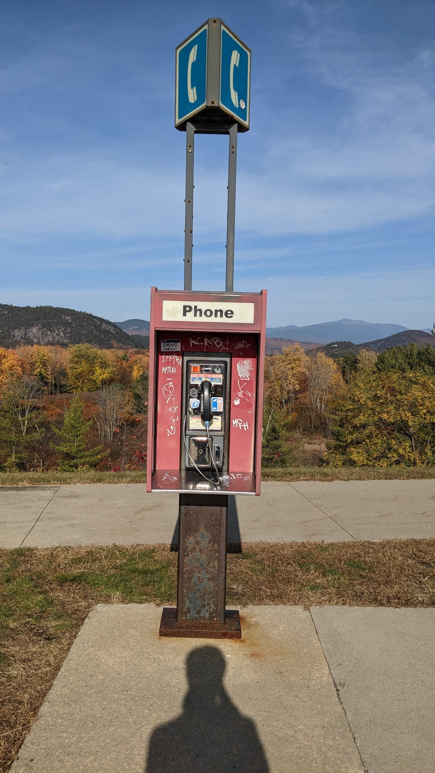
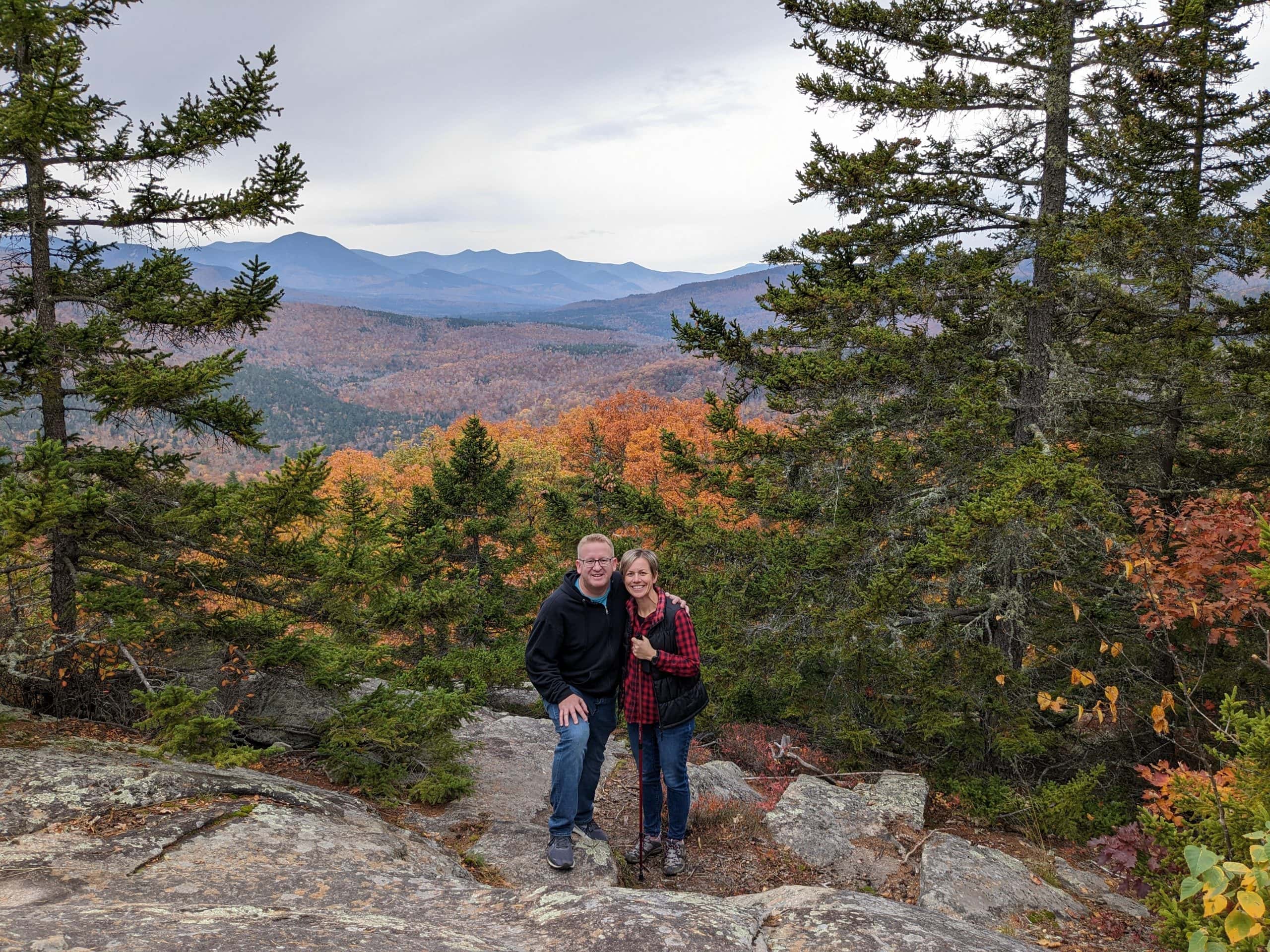
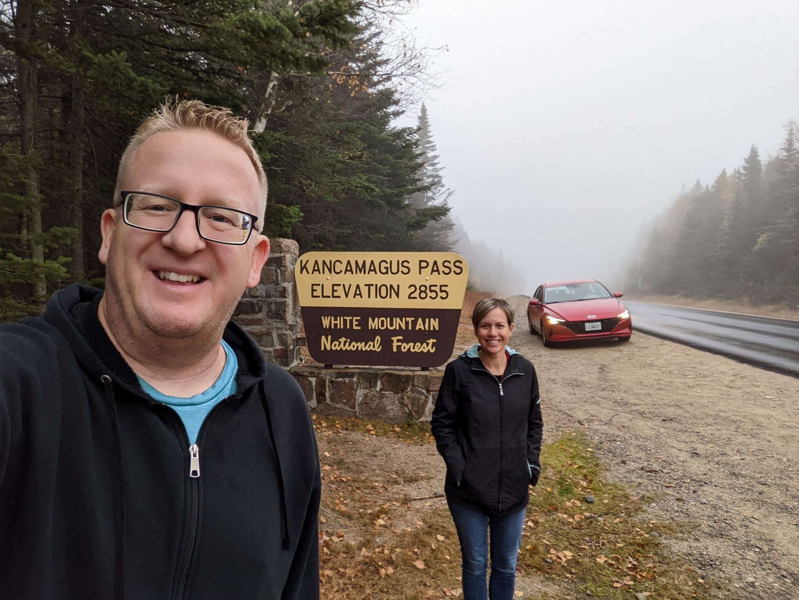
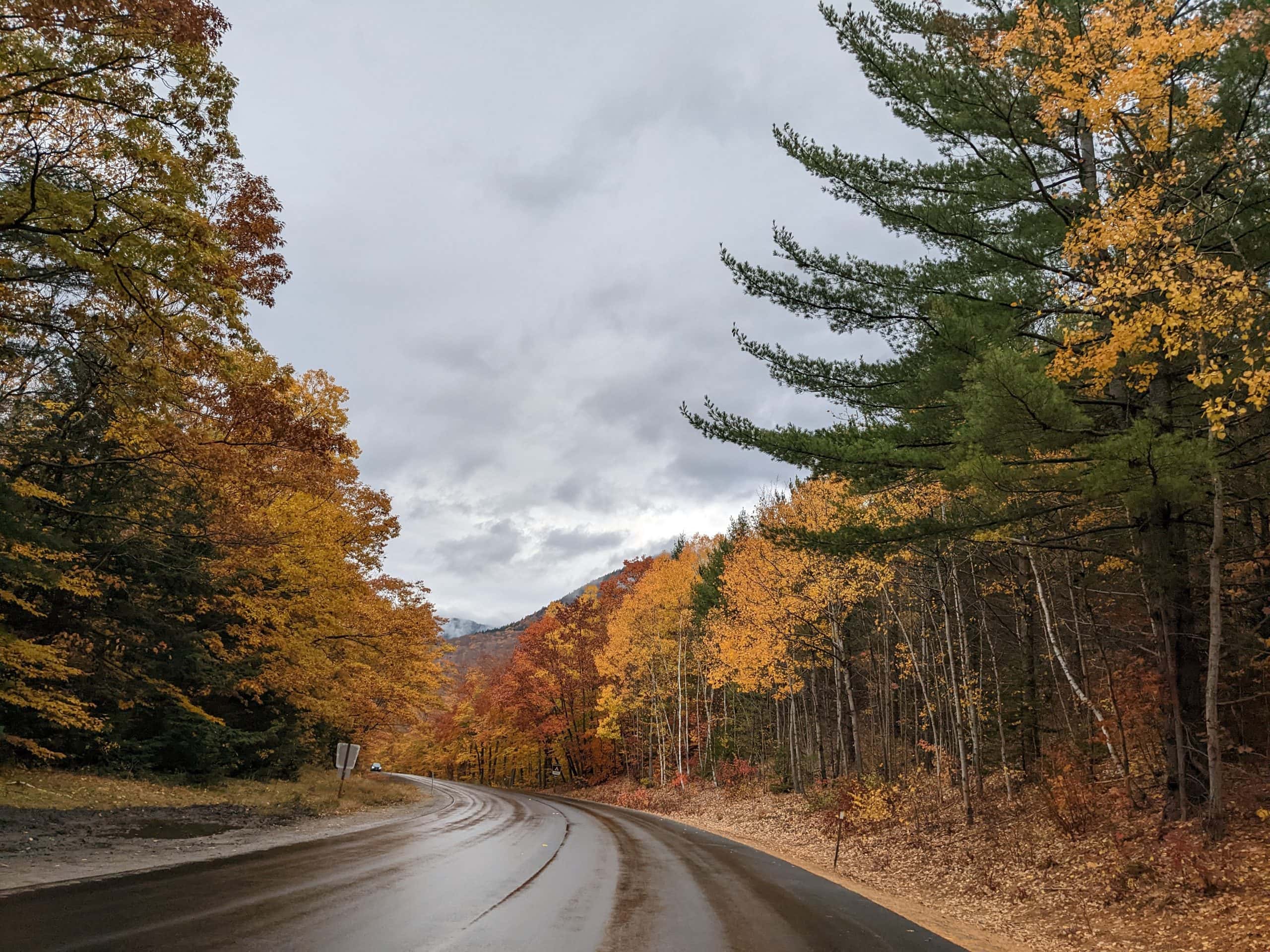
Just before the start of the Kancamagus Byway we stopped at a Visitor’s Center and got a nice picture, a map of the byway, and I got a geocache! I’ve seen several telephone booths since being on the East coast and I’m always surprised that they are still around. At the start of the byway we stopped at the Ranger station and paid for our $5 pass to park in the designated spots along the way and also picked up a sheet with 20 points of interest. This was really helpful in guiding us on what to stop and see along the way. I skimmed through the 20 spots and saw that spot #3 had a 3.1 mile hiking trail that went in loop. This was the longest of the hikes mentioned on the sheet and I thought it sounded like a great idea.
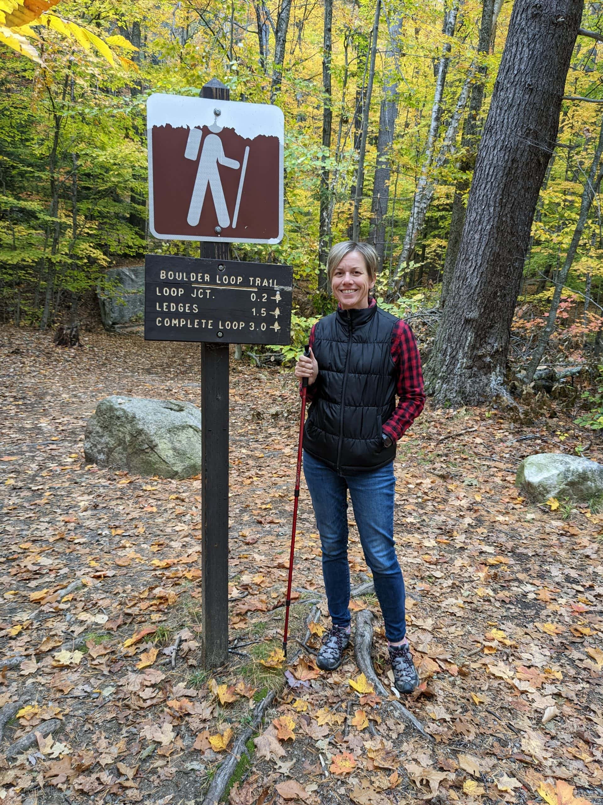
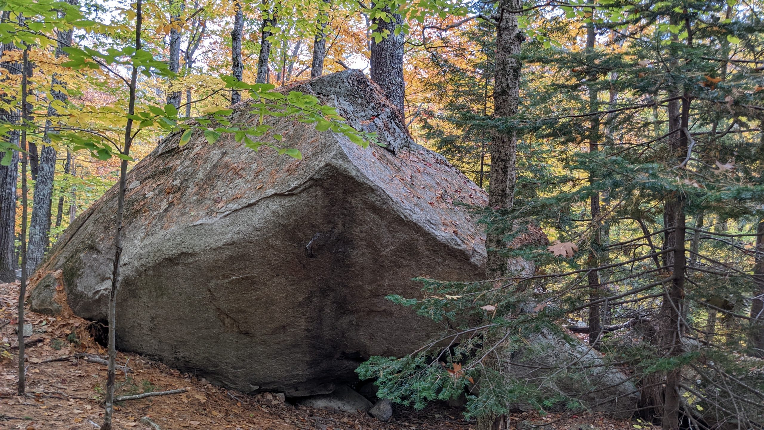
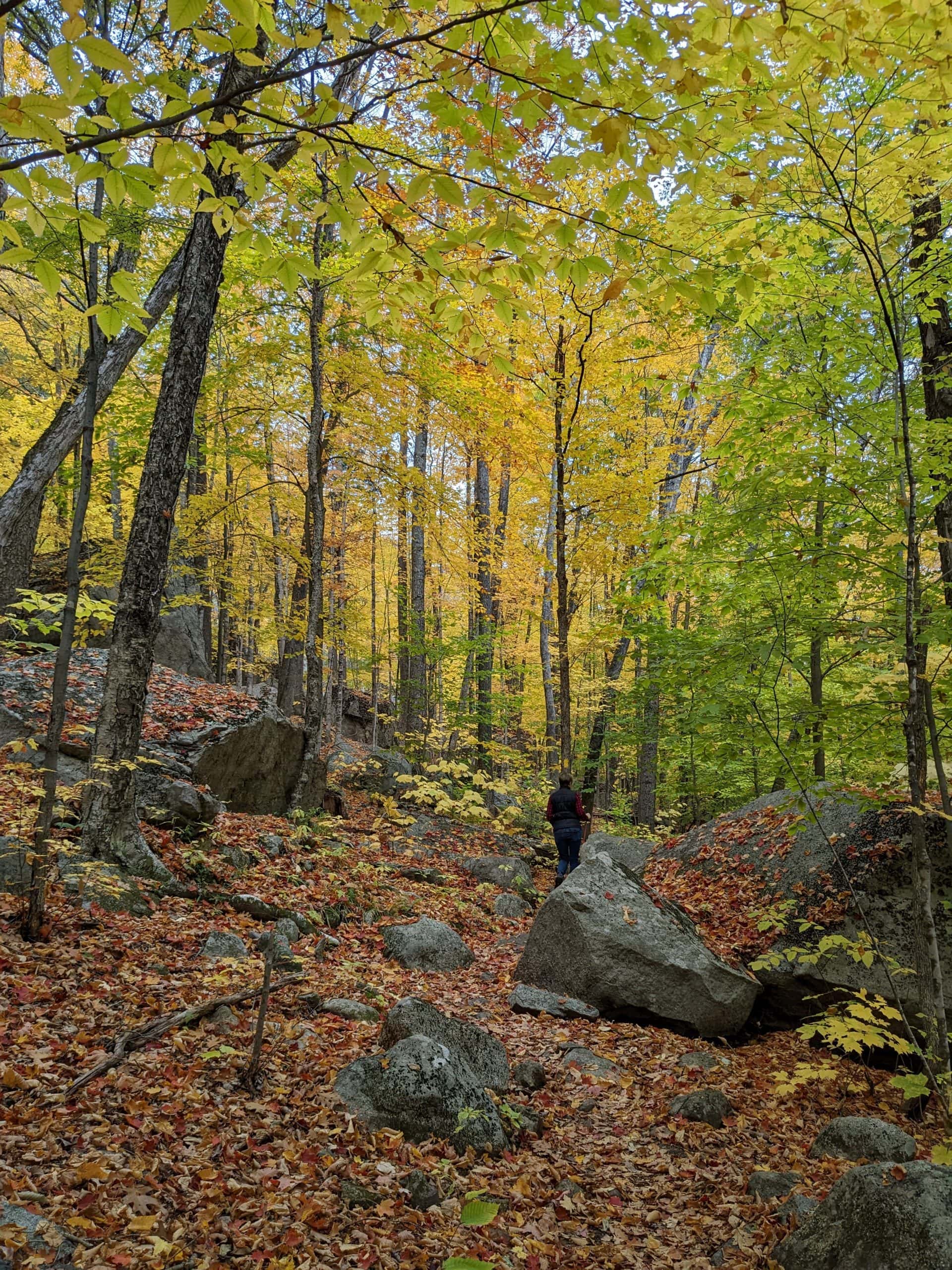
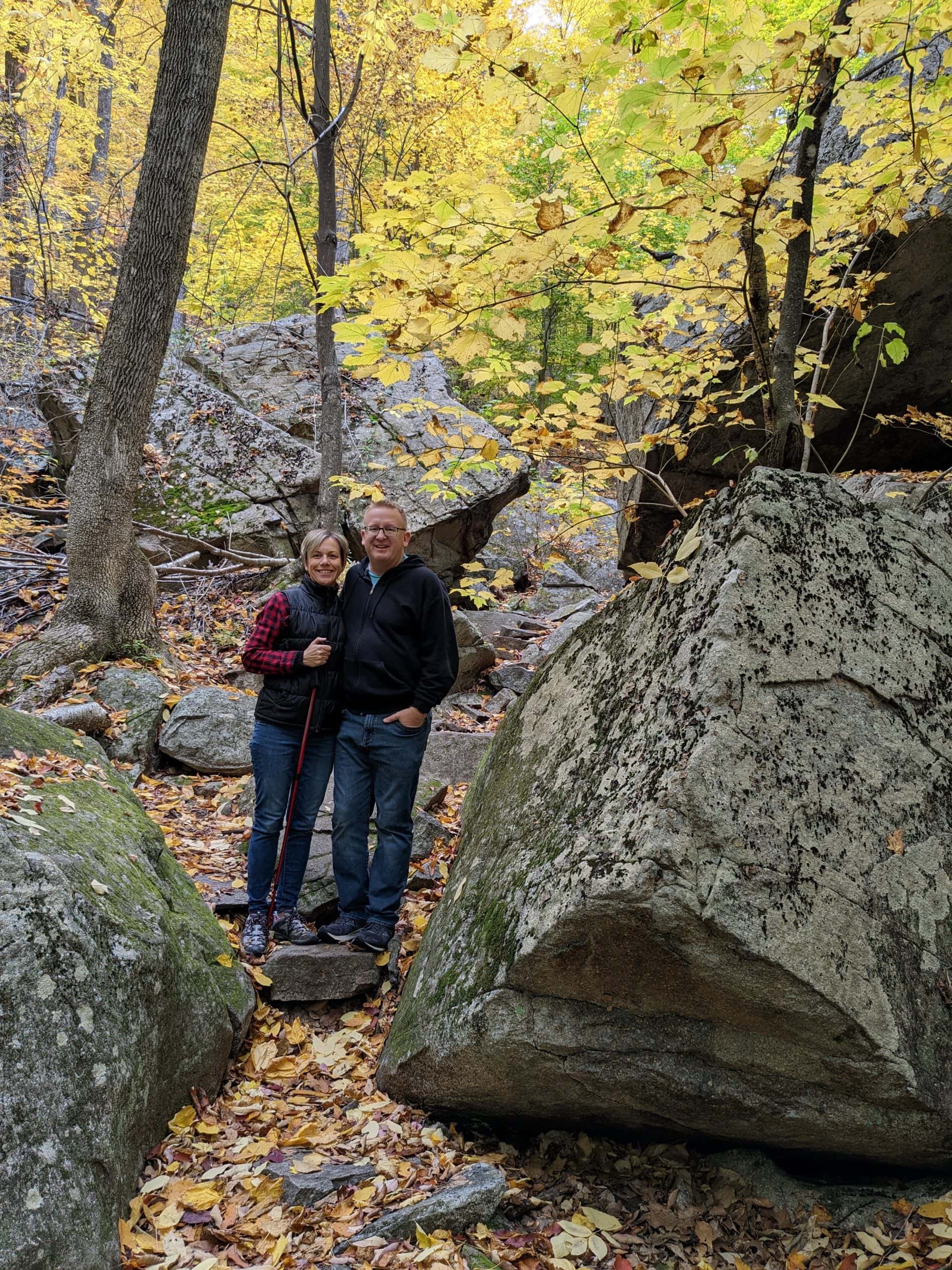
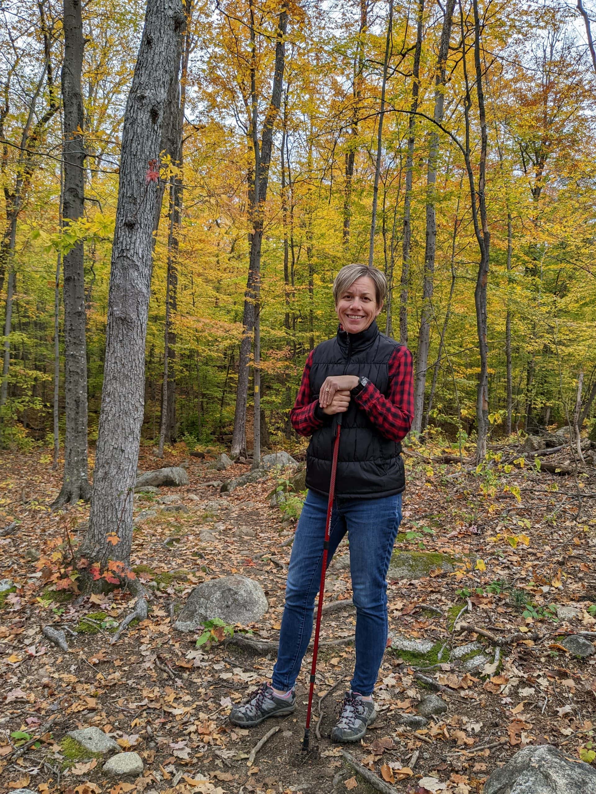
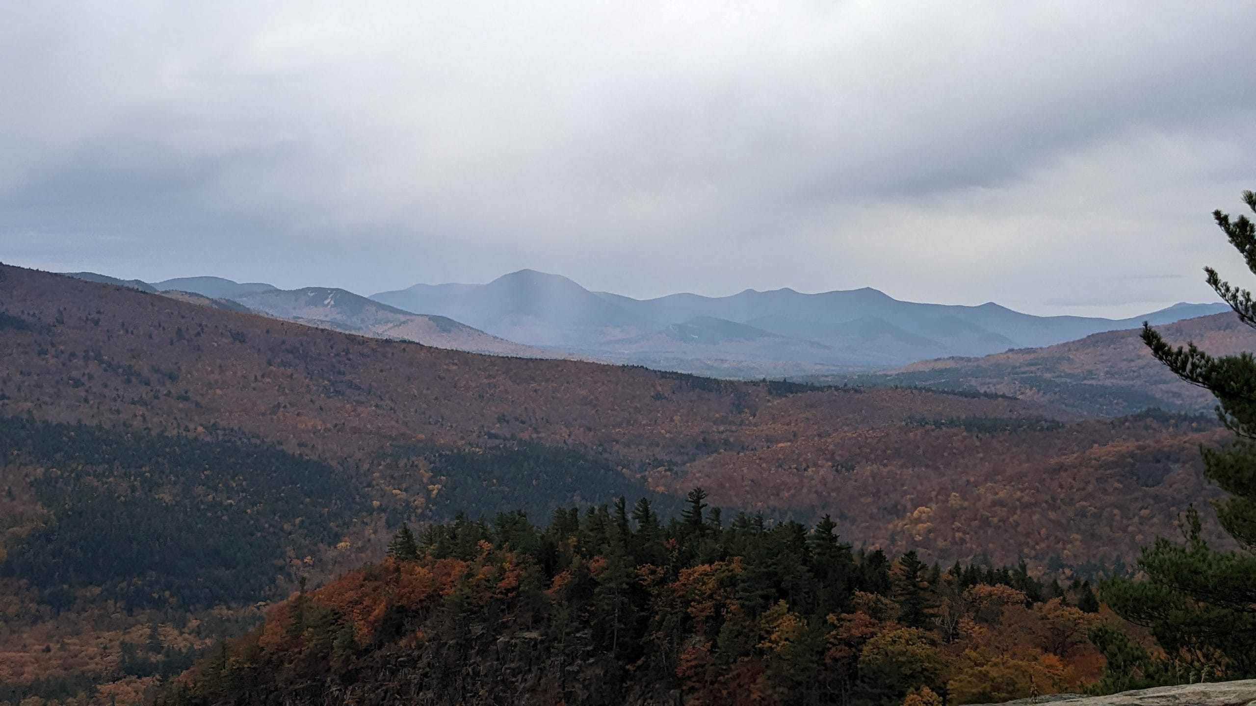
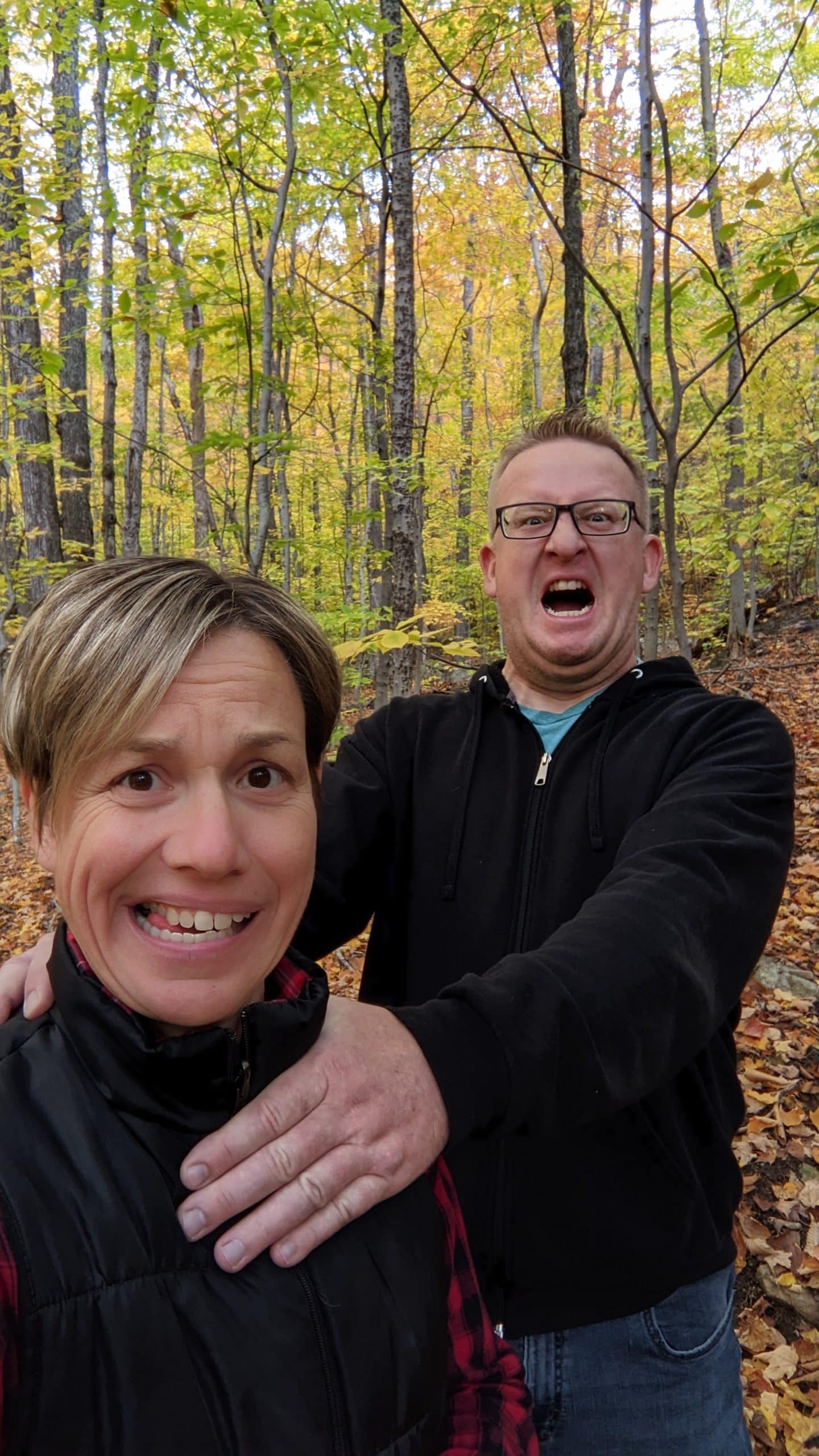
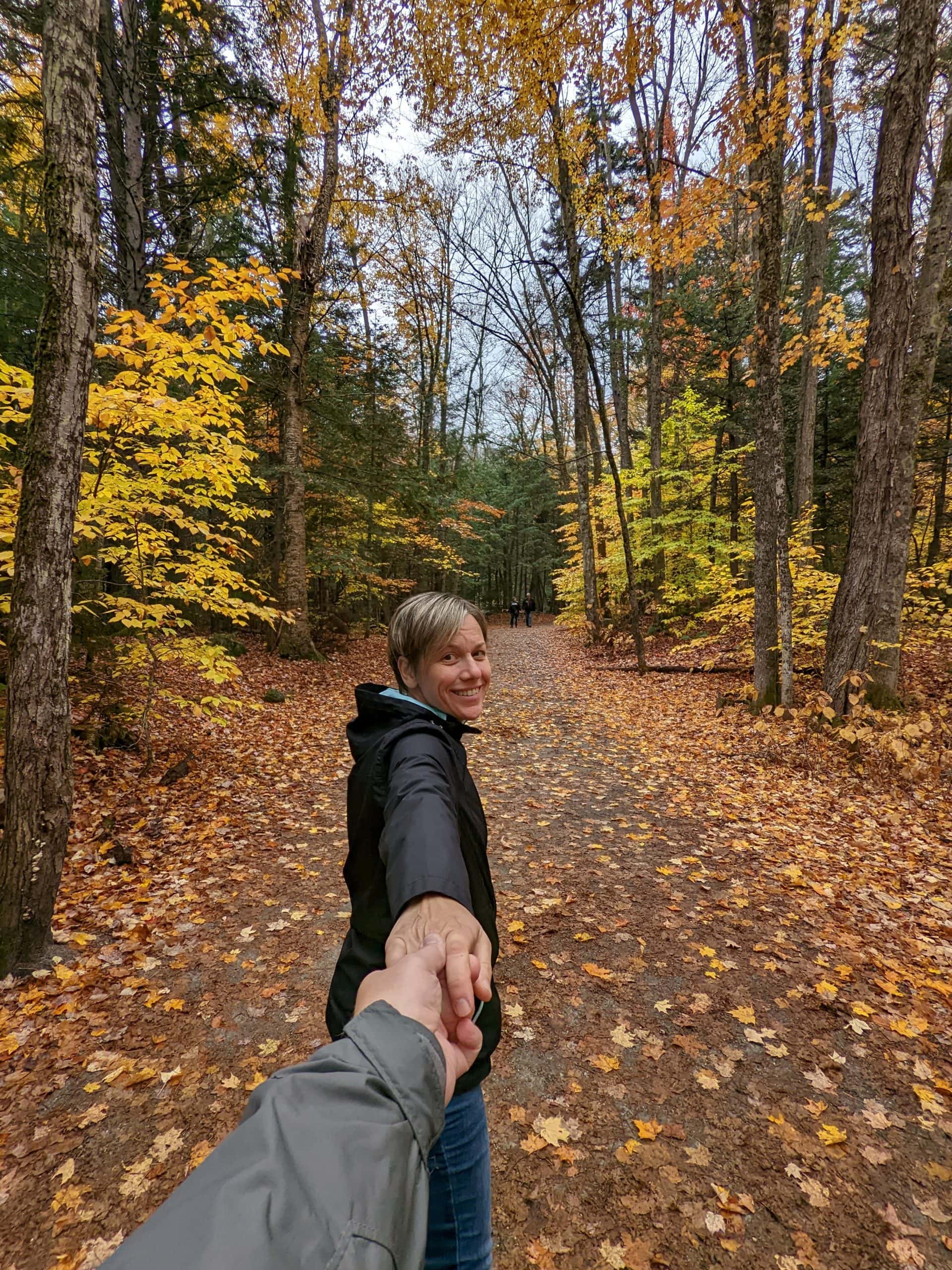
The name of the trail was the Boulder Loop. We headed out on the trail and went in a counter-clockwise direction. I’m not sure if that made a difference or not, but there were 15 numbered stops along the way (that we forgot to take a picture of the descriptions so when we saw the stops we didn’t actually know what we were looking at) so we just did them in reverse. The trail started out nice and easy and somewhat flat and we went by some really gigantic boulders (hence where they got the name of the trail), but after we had been hiking for an hour we realized we had a long way to go since we had only seen 3 or 4 of the markers. At that point we decided to take a few less pictures and just concentrate on hiking. That’s when the trail started to get even steeper as we climbed up and up. What I missed on the little description of the trail was the point of it being 950 foot gain in elevation. I had told Tom it was just a 3 mile loop and would probably take us an hour. Oops!! That definitely was not the case. When we finally made it to the top we were rewarded with a great view of the mountains. We took it all in plus several pictures, but then felt rain drops. Great . . time to get back into the cover of the woods and finish the loop. I think the first half of the loop was more scenic then the second half, but maybe that was just because we had soaked so much of it in already. By the time we got back down to the trail head we had been gone almost 3 hours!! I had not planned on that hike taking such a big chunk of our day, but I still feel it was worth it. I thoroughly enjoyed it and although Tom liked it, he probably didn’t like it as much as me.

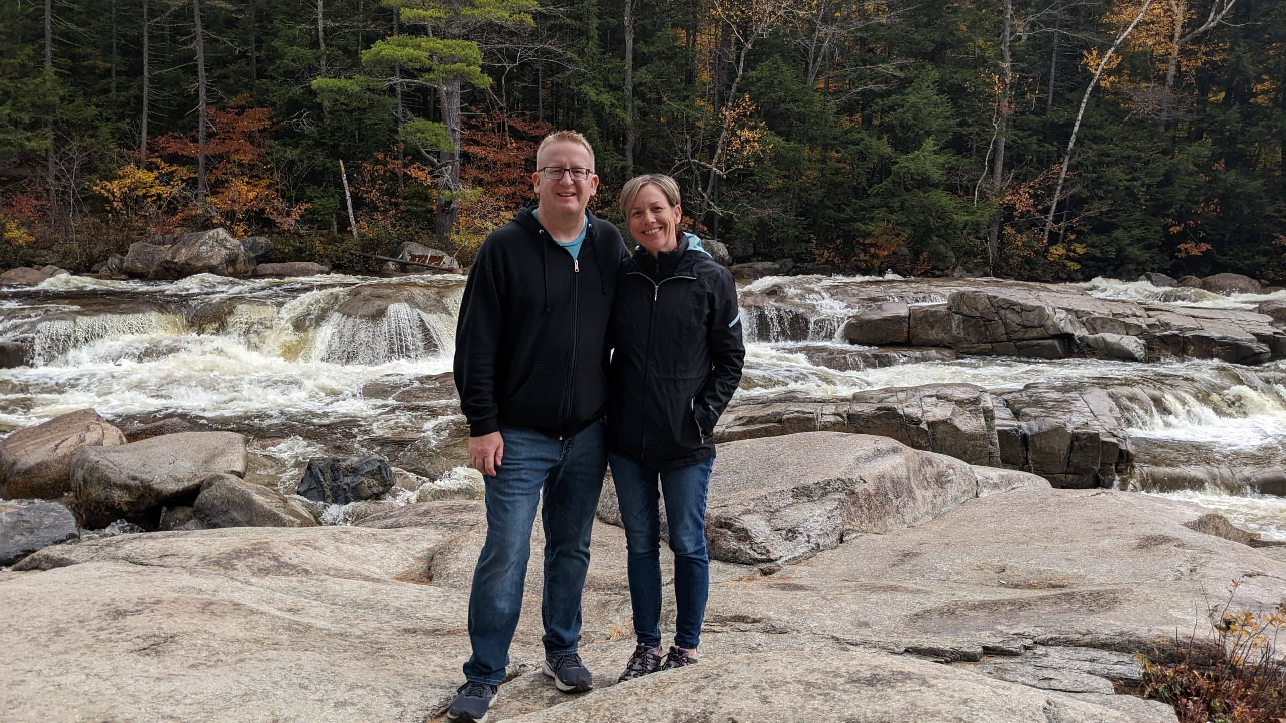
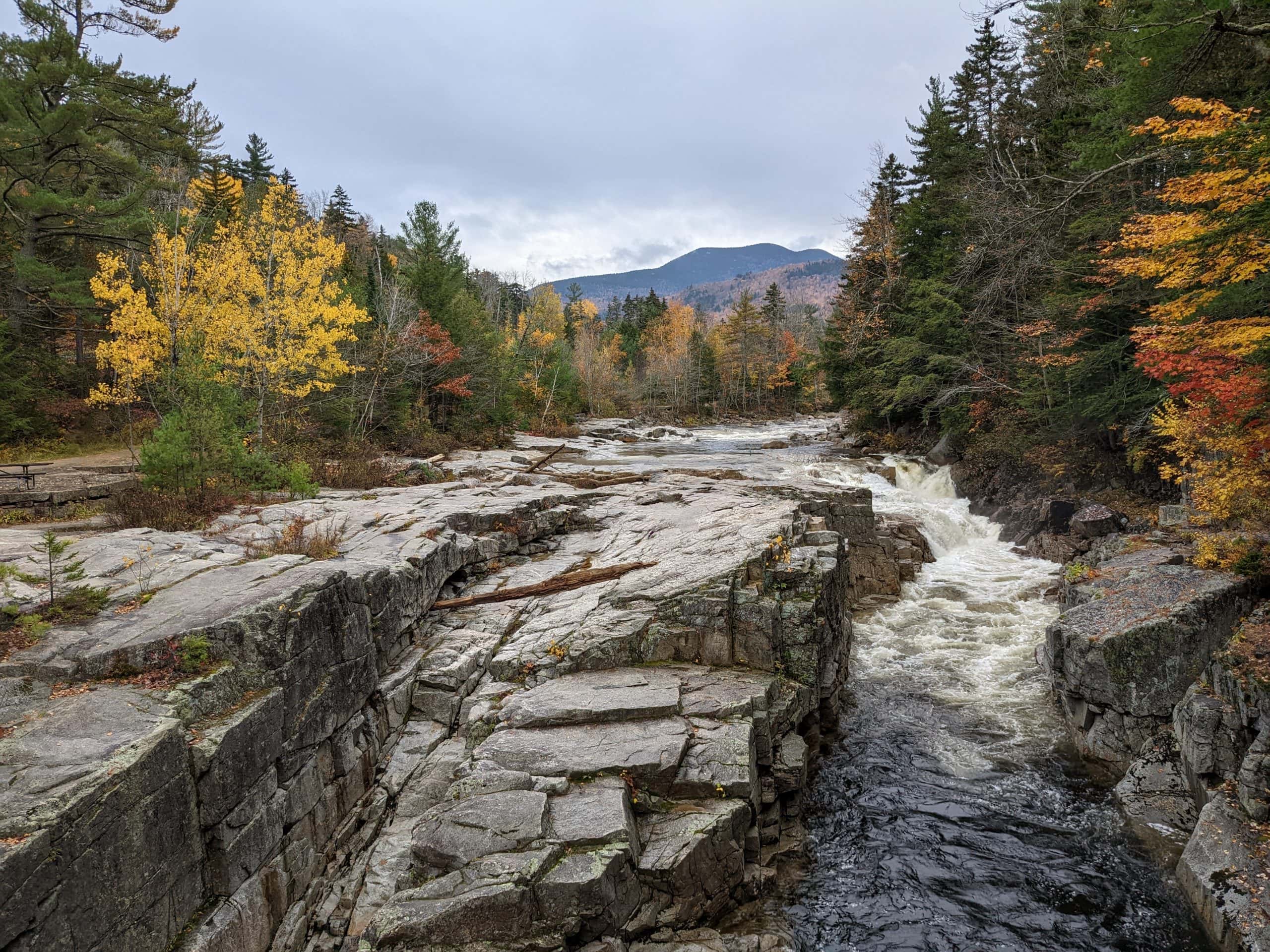
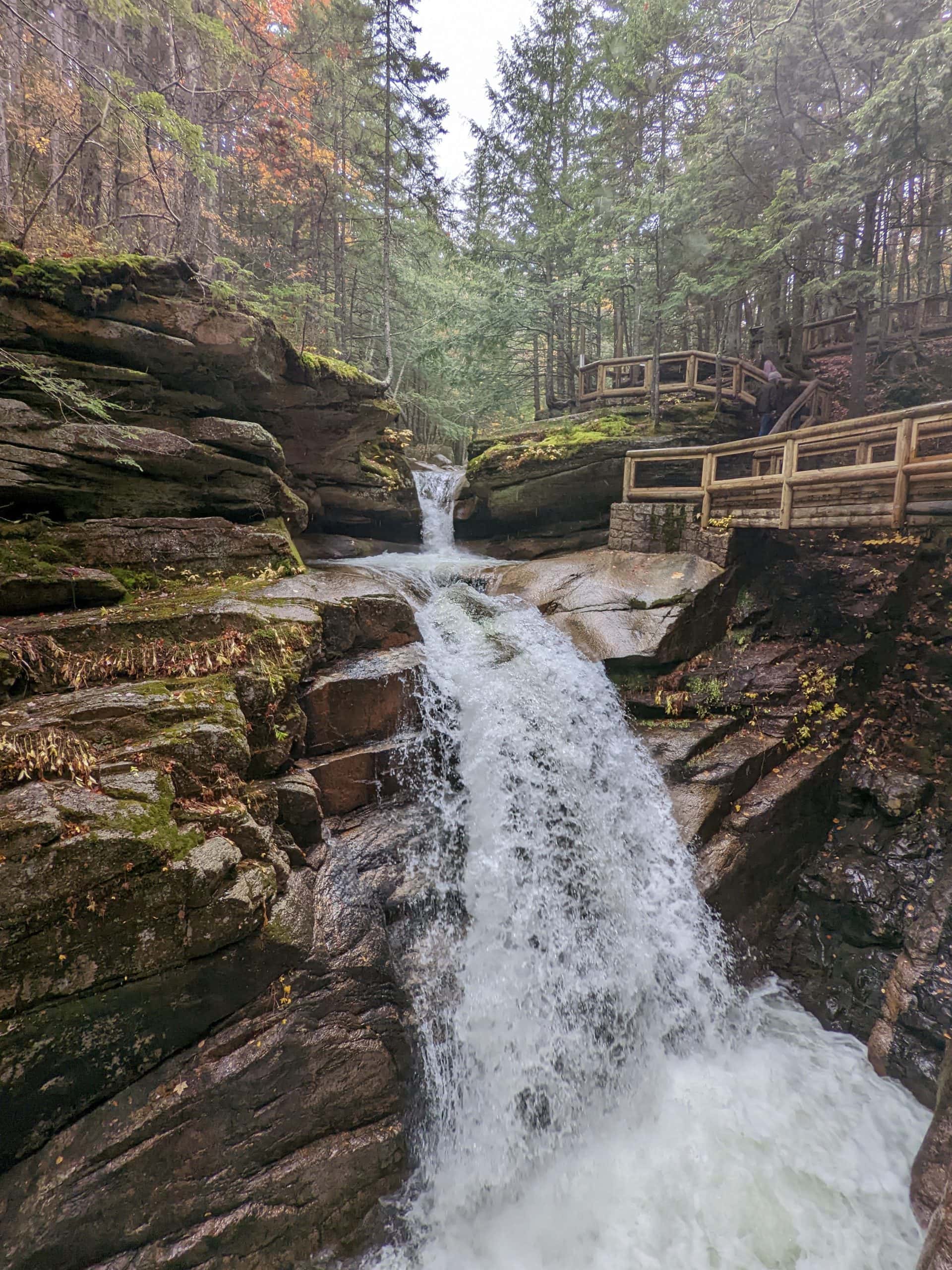
We got back in the car and made picture stops at the Lower Falls and Rocky Gorge. At Sabbaday Falls we walked the .6 mile trail loop to checkout the falls. This was a much easier hike and the falls were pretty impressive. The next points of interests on the sheet were mostly overlooks which would be great on a clear, sunny day but instead it was foggy and rainy at the top of the pass so not much to see at the overlooks. That was ok though because by now it was 4:00 and we still wanted to go to Flume Gorge and get to Burlington, VT for dinner with our niece, Kaylynn. We got to Flume Gorge at 4:30 and went inside to the visitor’s center to find out if we had time to see it. What we learned was that it’s actually a 2 mile hike and takes a couple of hours and they were already closed for the day. We were kind of bummed since Laurie (who had been here a couple of weeks prior to us) said it was the highlight of her trip. I was kicking myself for not researching it more before hand to know that we needed that kind of time, but on the other hand I’m not disappointed because we did the Boulder Loop trail hike in it’s place. That was pretty epic.
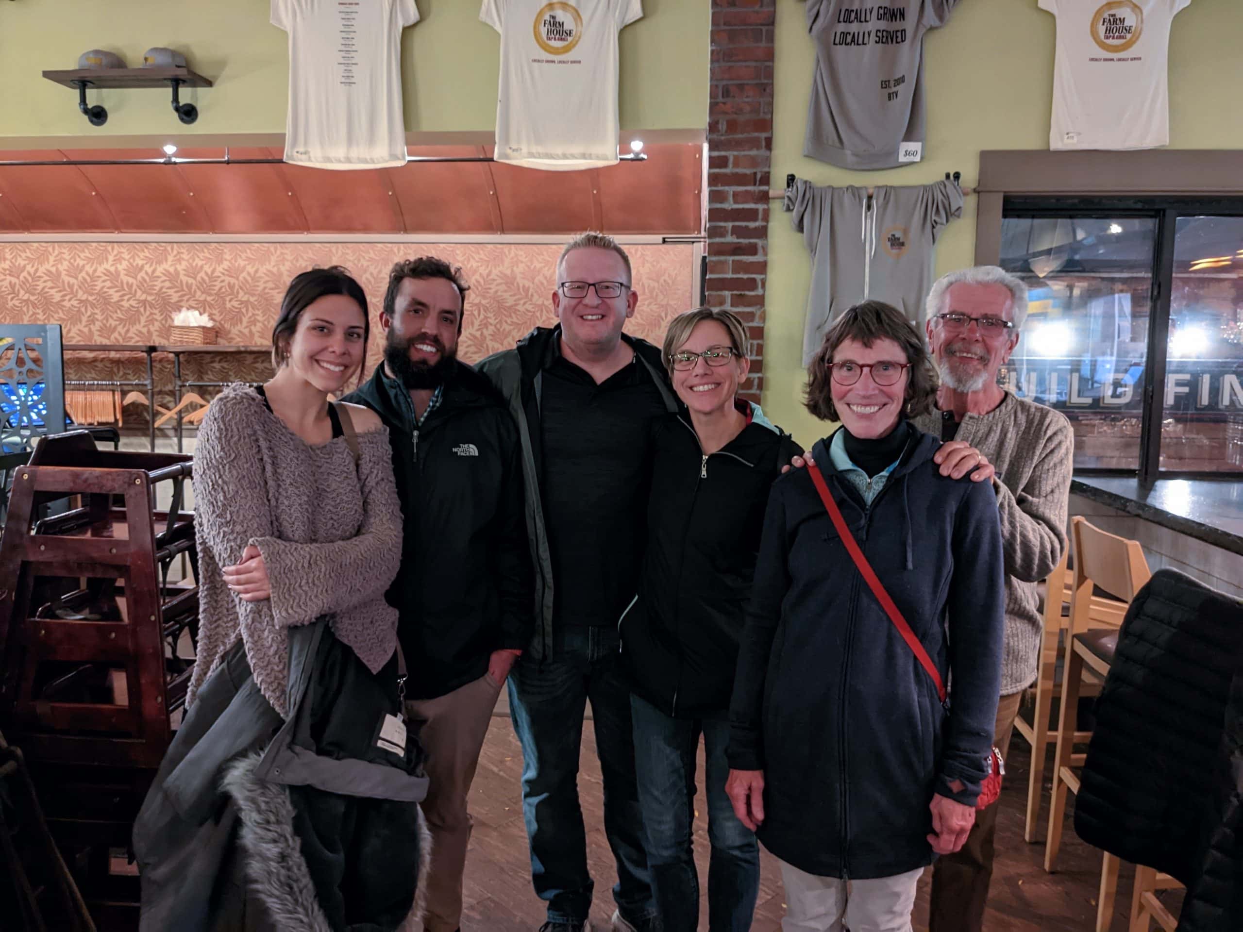
From the Flume Gorge the GPS said we had a 2 hour drive to our AirBnB in Burlington, so we got on the road and got a move on. We arrived about 6:45 and got settled in while we waited for Kaylynn to get home from work. She didn’t think she would be back to her apartment until 8:15 so I started writing the blog. At 8:00 we made the 13 or so minute walk up to Kaylynn’s apartment where we met her, her boyfriend Joe, Joe’s parents Carl and Carrie, and her roommate Natalie. We also met her cat and her roommates cat! We then all (minus Natalie and the cats) walked to Church Street for dinner at Farmhouse Tap and Grill. Kaylynn and I had the cod with spaghetti squash and everyone else had a burger. All the food was really good! It was a pleasure getting to know Joe and his parents and we had a great night!
Stats of the Day
Number of Pictures taken on a 3 1/2 mile hike: At least 100, probably 200, maybe 300
Geocaches Attempted/Found: 1
Steps Taken: 20,017


